
The 28er Peaks
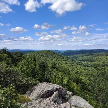
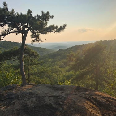
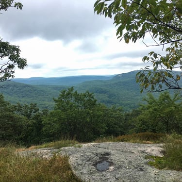
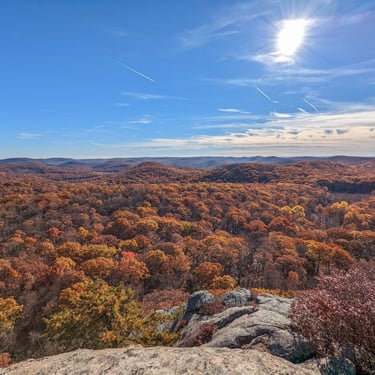
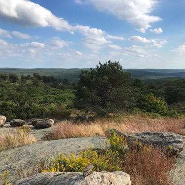
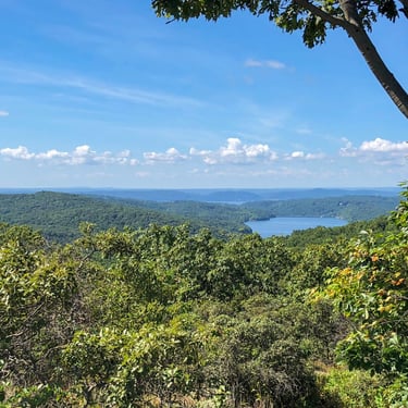
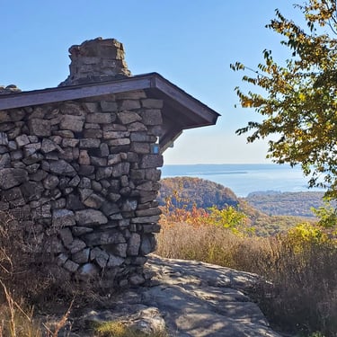
The 28 mountains of the NY Downstate 28er Challenge have been strategically chosen for their regional significance, hiker accessibility and scenic nature. All are along well-maintained trails (no bushwhacking necessary!) and each peak has one or more panoramic vistas to enjoy. Many of the mountains are area classics, though some are lesser-known peaks that highlight additional peakbagging opportunities in the Lower Hudson Valley.

Dutchess County
Putnam County
Westchester
Peaks West of Hudson
Peaks East of Hudson


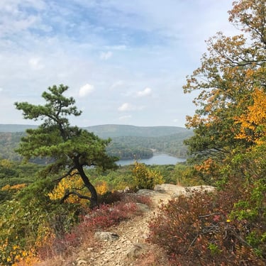
Bald Mountain (1,119 ft)
Park Alert:
Trail closures remain in affect which limit the ways hikers can access this mountain. The suggested hikes above avoid all closure areas. See closure details HERE.
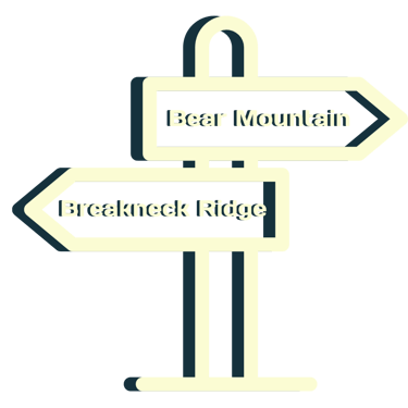
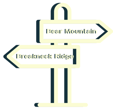
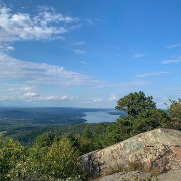
Bear Mountain (1,301 ft)
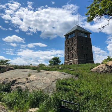
Park Alert:
Access to the Appalachian Trail, Suffern-Bear Mountain Trail, and Major Welch Trail have been temporarily rerouted due to construction at the Bear Mountain Inn. The blazed reroute adds approximately 0.4 miles to the Bear Mountain Loop Hike listed above. See reroute details HERE.
Black Mountain (1,203 ft)
Black Rock (1,410 ft)
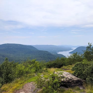
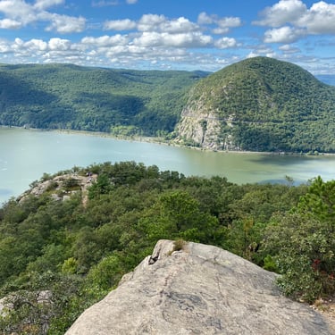
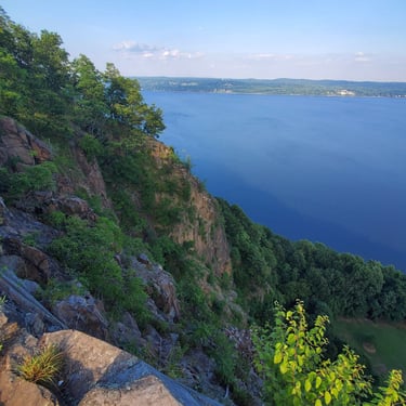
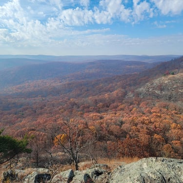
Breakneck Ridge (1,302 ft)
Park Alert:
Breakneck Ridge Trailhead, Wilkinson Memorial Trailhead and associated lower trails are closed until further notice for Fjord Trail construction. Other access points and trails to the upper reaches of Breakneck Ridge remain open, and the suggested hikes above avoid all closure areas. See details of the closures HERE and HERE.
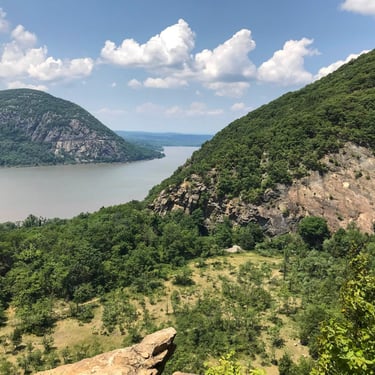
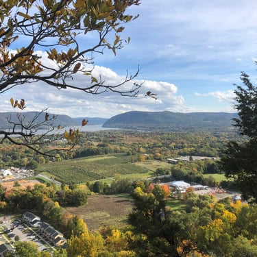
Bull Hill (1,419 ft) [aka Mount Taurus]
Butter Hill (1,380 ft)
Suggested Hike:
Resources:

Candlewood Hill (986 ft)
Diamond Mountain (1,247 ft)
Dunderberg Mountain (1,090 ft)
Suggested Hike:
Resources:
Eagle Cliff (1,443 ft)
Suggested Hike:
Eagle Cliff, Mine Hill and Spy Rock Loop
(Loop, 6.6 miles, 984 ft gain)
Resources:
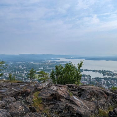
High Tor (824 ft)
Suggested Hike:
Resources:
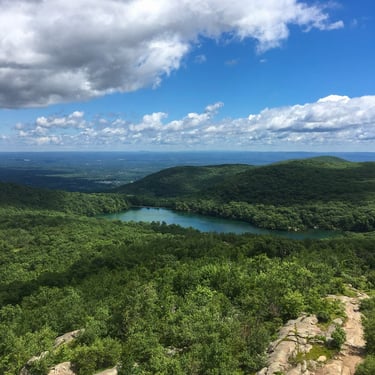
Hogencamp Mountain (1,353 ft)
Hook Mountain (734 ft)
Suggested Hike:
Resources:
Indian Hill (1,044 ft)
Suggested Hike:
Resources:

Nimham Mountain (1,274 ft)
Suggested Hike:
Resources:
Popolopen Torne (940 ft)
Suggested Hike:
Resources:
Park Alert:
Trail closures remain in affect which limit the ways hikers can access this mountain. The suggested hike above avoids closure areas. See closure details HERE.
Ramapo Torne (1,127 ft)
Round Hill (1,089 ft)
Suggested Hike:
Resources:
Schunemunk (1,681 ft)
Schunnemunk State Park
Snake Hill (703 ft)
Suggested Hike:
Resources:
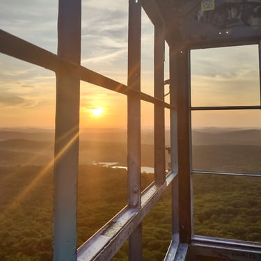
South Beacon Mountain (1,607 ft)
Storm King Mountain (1,352 ft)
Turkey Mountain (831 ft)
Suggested Hike:
Resources:
West Mountain (1,264 ft)
Park Alert:
Trail closures remain in affect which limit the ways hikers can access this mountain. The suggested hikes above avoid closure areas. See closure details HERE.

2026 NY Downstate 28er Challenge. All Rights Reserved.
Happy Trails!
NY Downstate 28er Challenge
Connect
Challenge yourself to hike 28 scenic peaks in the beautiful Lower Hudson Valley region of New York and earn an exclusive finisher patch!
Quick Links